One petabyte is an extremely large amount of data.
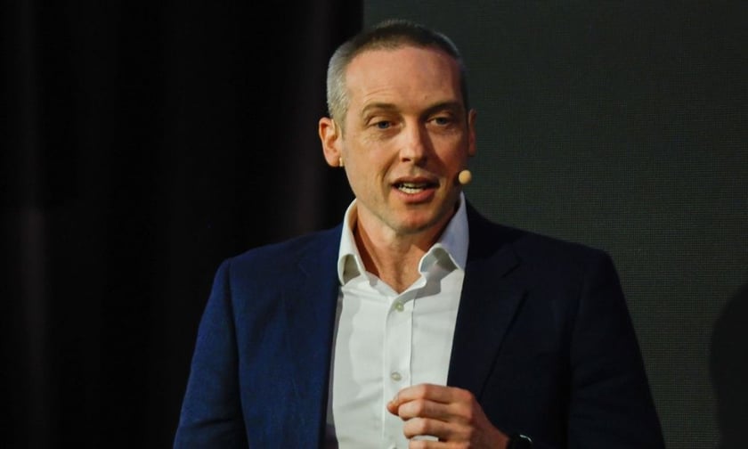
“To put the magnitude in perspective, one petabyte is equivalent to taking over 4,000 digital photos per day, over your entire life,” said Stephen Neale (pictured above), solutions engineering manager for Nearmap, the aerial imagery and data company.
Neale’s Sydney-headquartered firm is applying technology like this to the claims process and says it can help solve some critical issues faced by insurers.
“The insurance industry is facing the challenges of increasing catastrophic weather events and claims along with cost pressure and an expectation from customers to resolve claims quickly,” he said.
Apart from these cost pressures and customer expectations, the government is also applying the thumb screws to insurers’ claims processes. Insurance firms, regulators, consumer advocates and flood victims are all participating in a major inquiry into insurers’ response to the 2022 floods. A report is due by September.
The upcoming Claims Leaders Summit Australia in Sydney will focus on how insurance stakeholders can improve the way they deal with claims. Nearmap is the Tech Talk sponsor.
Neale is delivering a presentation about how aerial imagery and data technology can speed the claims process and provide better information for insurers and their loss assessors.
Neale says his firm has responded to the challenge of nat cats by “building possibly the most advanced aerial imaging camera system in the world” using research and technology developed in Australia.
“Reducing the time taken to resolve a claim quickly after a severe weather event is an outcome achieved through combining several technologies,” he said.
For example, said Neale, a proprietary technology, already being used by insurance firms globally, that increases the speed at which high resolution imagery can be captured.
“We currently capture and store more than 20 petabytes of data and automatically detect over 100 features with AI on every single image,” he said.
Neale said this means that instead of looking through every image to find something, the detection technology allows insurers to go straight to a feature, like a damaged roof, in seconds.
His Claims Summit talk: Rapid location intelligence for catastrophic weather events, will examine significant weather events from the past year and how new image acquisition technology, including petabyte-scale AI, can rapidly capture and inform on damage and help solve claims issues.
Find out more: Attend the Claims Leaders Summit
Neale said, following severe weather events, insurers’ response teams are faced with property assessments that involve inspecting, estimating, and reporting on damage.
“Access to accurate, measurable data is crucial for these teams to deliver swift assessments and estimates, leading to faster response and recovery efforts,” he said.
Nearmap’s aerial imagery, he said, provides enough details for these assessments to be done remotely.
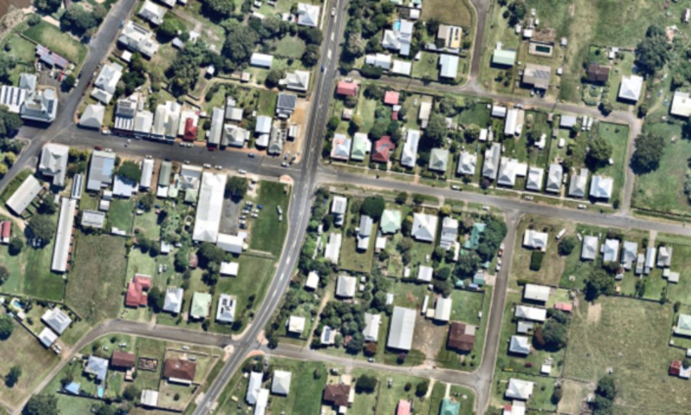
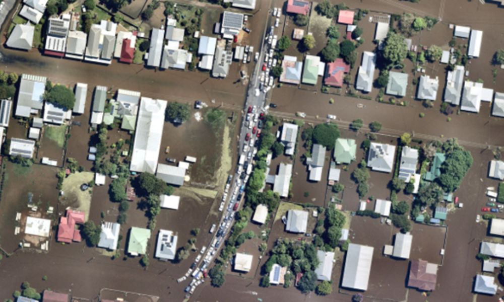
He provided Insurance Business with Nearmap’s aerial photos of Grafton (see photos immediately below). The photos show before and after shots of a town location inundated by the 2022 floods. The flooding made this area inaccessible for assessors.
“Through our images that were online before the flooding had even receded, it was possible to validate property level information, damage and claims,” said Neale.
“Aerial images of properties pre- and post-disasters, such as floods, bushfires, and cyclones, aid in evaluating the degree of damage,” he said. “High-resolution images offer a detailed view of the required quantities and materials for repair and replacement.”
Neale said one of his firm’s insurance industry customers used Nearmap’s aerial technology to inspect over 9,000 properties as part of the NSW Flood Property Assessment Program. The imagery also helped with more than 250 refurbishments and 90 demolition estimates for the NSW Disaster Relief Grant.
Remote inspections, said Neale, also free up insurers’ resources so more properties can be assessed.
“This allows for supplies to be ordered sooner, helping expedite the claims process to facilitate, rebuild, and repair,” he said.
The Claims Leaders Summit Australia is taking place at The Fullerton Hotel in Sydney on May 9. You can find all the information on the event and register to attend here.