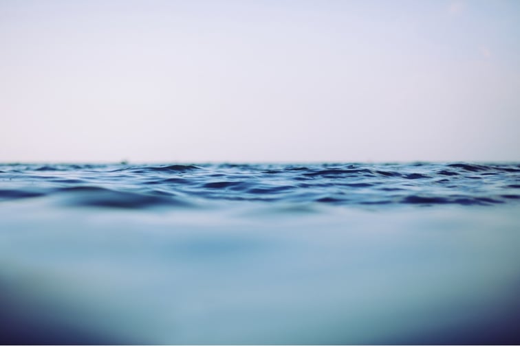
The Wairarapa region’s coastline is one of the fastest-sinking areas in New Zealand, due to rising sea levels brought about by climate change.
Some coastal areas in the region are sinking at a rate of over 7mm annually, which is more than twice the 3.5mm average annual global sea level rise, Stuff reported.
Two coastal settlements that are part of Masterton District – Castlepoint and Riversdale – are among those seeing rapid sea level rise. Data from New Zealand SeaRise’s website showed that Castlepoint sea level rise is 3.77mm a year, while Riversdale is at 4.67mm.
Models predict with “medium confidence” that sea levels in the region could rise by a net of one metre by 2100. This is enough to leave many coastal properties submerged, or, at the very least, uninsurable.
According to Timothy Naish, lead researcher of the SeaRise project, Wairarapa is quite vulnerable because of the rapid rise in sea levels.
“If you live at Castlepoint or Riversdale you’ve got some quite substantial land subsidence,” Naish told Stuff. “It effectively means that the time you thought you had before some road may become unusable, or some beach may disappear, is much shorter.”
Naish, a researcher and lecturer at Victoria University of Wellington, said that while councils are required to incorporate this information in their planning, there is a lack of direction from the central and local governments on how to protect properties or compensate property owners.
“That’s why this information is really important,” Naish said. “Insurance companies are looking at it and so is the government. At the moment they’re kind of passing the buck to local councils, saying, ‘You guys are going to have to do things to ensure that people aren’t at risk.’”