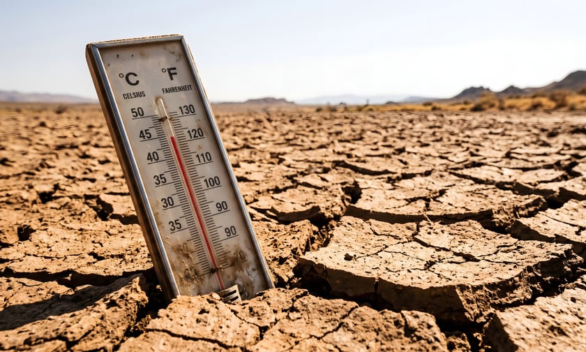
New Zealand insurance brokers are entering the country’s highest-risk seasonal period with a narrowing window to act: a confirmed and intensifying El Niño is arriving just as market data shows storm frequency has already doubled and insurers have begun withdrawing capacity from high-risk locations. Earth Sciences New Zealand’s (ESNZ) Seasonal Climate Outlook for September-November 2026, published September 2, states that El Niño conditions persist in the tropical Pacific atmosphere and ocean, strengthening considerably since mid-winter, with impacts on New Zealand’s weather patterns recently starting to be felt and expected to persist through the outlook period. The Relative Oceanic Niño 3.4 (RONI) Index averaged +1.9°C over the 30 days to August 30, approaching the +2°C threshold for a very strong El Niño. The Relative Oceanic Niño Index forecasts indicate a 100% chance for El Niño conditions over the September-November 2026 period.
The El Niño forecast does not arrive in isolation. Before its spring influence takes hold, the baseline from which brokers are operating has already shifted materially. IAG New Zealand’s Wild Weather Tracker – covering March 1, 2025, to February 28, 2026 – recorded 46 storms generating 33,174 claims, a 256% increase on the prior year’s 9,324 claims from 29 storms. “Over a 15-year timeline, a storm typically affected parts of the country once every 19 days. In the last 12 months, that frequency has more than doubled to once every eight days, making storms a near-weekly occurrence,” said Phil Gibson, CEO of AMI, State, and NZI. He also flagged a seasonal shift with direct implications for spring portfolio management: 61% of storms in the tracked period occurred in spring and summer, reversing the historical pattern in which autumn and winter produced more storm-related claims.
The Insurance Council of New Zealand’s (ICNZ) Cost of Natural Disasters database confirms the loss trajectory. The full-year 2025 extreme weather total reached $278.2 million, with the South Island severe weather events of October 2025 alone producing $158.9 million across 16,885 claims. In 2026, a January storm generated $75.9 million from 5,347 claims and a February event generated $83.9 million from 10,336 claims – both before the El Niño season had begun.
ESNZ’s outlook creates a directly usable geographic framework for portfolio review. For the north and east, the outlook is dry. Rainfall totals for the north and east of the North Island are most likely to be below normal, at a 50% probability, while above-average temperatures carry a 50% likelihood for those regions. Similar conditions apply to Gisborne, Hawke’s Bay, and Wairarapa, with the potential for notable short-duration warm spells accompanied by high winds. This profile raises rural fire and agricultural exposures, along with water-supply-related risks. The south and west face a different risk profile. For the West Coast, Southern Alps and foothills, inland Otago, and Southland, rainfall is very likely to be above normal, carrying a 60% probability, and spring is likely to see more periods of stormy weather, including heavy rain and unusually strong winds. Soil moisture and river flows are most likely to be above normal, at a 50% probability.
ESNZ notes that the highest risk of notable weather systems will originate from the Tasman Sea or Southern Ocean, making heavy rain events more likely for the south and west of the country. Wind is flagged as a nationwide signal: air flow patterns are expected to favour a prevailing westerly direction, characteristic of El Niño conditions, with a tendency towards southwesterly flows from October, with the greatest risk of nationwide unsettled weather currently expected during mid-to-late spring.
The market conditions surrounding this El Niño have been reshaped by insurer responses to accumulated loss experience. In January 2026, AA Insurance halted new home, business, and landlord policies in Westport, citing flood exposure. AA Insurance head of underwriting Dee Naidu said the decision reflected “the elevated natural hazard risk of flooding in the area, and that our exposure has reached a level where a pause on new policies is the most responsible step to ensure we can be there for our existing customers when they need us most,” RNZ reported. The insurer subsequently paused new policies in Woodend, North Canterbury. For brokers, these geographic underwriting pauses are not background context – they are a direct placement challenge. Clients in high-risk zones who need to place, renew, or transfer cover face a narrower market.
The Reserve Bank of New Zealand’s (RBNZ) May 2026 Financial Stability Report highlighted insurance affordability and availability as emerging financial stability concerns, warning that pressures from affordability, underinsurance, and insurers reducing exposure to flood-prone areas could increase financial stability risks. The Climate Change Commission’s 2026 National Climate Change Risk Assessment, published in May, found that approximately 556,000 buildings are currently exposed to inland flooding in New Zealand, with a combined replacement value of $235 billion. ICNZ chief executive Kris Faafoi said in March 2026 that recent severe weather events are “a reminder of the damage, disruption, and devastation to life, property, and communities.”
ESNZ notes that during these three months there will inevitably be relatively wet and dry periods, as well as hot and cold periods – the outlook is probabilistic, not a day-to-day forecast. For brokers, however, a 100% El Niño probability, doubled storm frequency, active insurer capacity withdrawal in flood-exposed areas, and 556,000 flood-exposed buildings form the case for portfolio review now, before the season’s first major events remove the option to act.