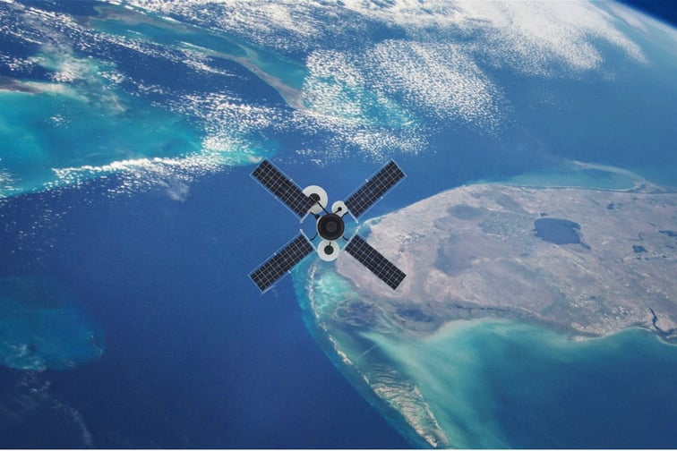
Neptune Flood has announced a strategic collaboration with ICEYE, an international satellite imagery company that provides earth observation data through the world’s largest synthetic-aperture radar (SAR) constellation.
As part of the partnership, ICEYE will provide Neptune Flood with high-resolution flood hazard data in the immediate aftermath of a flood to enable monitoring of Neptune’s insured geolocations for micro-changes in water depth around properties, the companies said. The agreement also allows for exploration of future initiatives, including triggers for parametric flood insurance offered through Neptune’s Jumpstart brand.
“At Neptune, we have long been following the work done by ICEYE to drive the satellite imagery industry forward,” said Trevor Burgess, CEO of Neptune. “We believe the ability to monitor our clients’ properties in real time for indications of flood activity provides our stakeholders with unparalleled assurance and benefits. We are also excited to explore the possibility of broader coverage options for our clients made possible through the synchronization of ICEYE’s data with our Jumpstart parametric technology.”
Read next: Neptune Flood marks major milestone
“ICEYE is committed to supporting the ongoing advancement of flood insurance solutions,” said Rafal Modrzewski, co-founder and CEO of ICEYE. “Through our collaboration with Neptune, the largest and most technologically enabled flood insurance company in the United States, we will be able to provide near real-time clarity around not only the extent of a flood event, but also the level of flood impact at the individual building level. We believe this hazard insight not only enhances loss sizing and claims response capabilities, but also helps further accelerate flood insurance innovation.”
ICEYE owns the world’s largest SAR constellation, providing uninterrupted visibility day and night, in any weather conditions. By combining data from its space-borne sensors with multiple auxiliary sources of information, ICEYE delivers near real-time hazard and damage data.