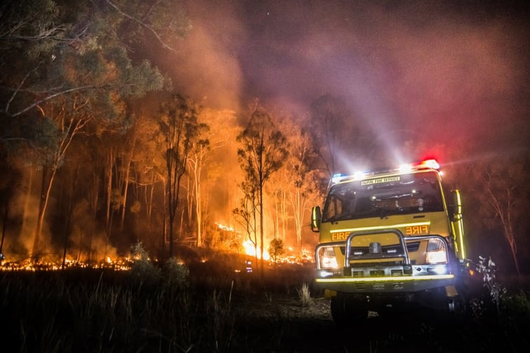
Canada now has access to a comprehensive wildfire risk map that provides yearly and 30-year aggregate probabilities of wildfire ignition and spreading for any location in the country.
Launched by Minerva Intelligence through its climate85 platform, this dataset is currently the only publicly available pan-Canadian map of its kind, with the ability to provide a clear evaluation of the likelihood of a property being impacted by a wildfire, expressed as a percentage probability and a risk score that ranges from minor to extreme.
“The reality of climate change is upon us, and it is crucial for individuals and organizations alike to incorporate climate risk into their future planning,” said Gioachino Roberti, head of product. “With climate85, both businesses and families can gain a deeper understanding of their climate risk and take proactive steps to prepare for potential disasters.”
Using the dataset, Minerva was able to estimate that roughly 300,000 buildings in Canada are exposed to high wildfire risk, with a 14% or greater probability of being affected over a 30-year period. Additionally, over one million properties carry a minor risk (greater than 1%) of being impacted by wildfires during the same period.
A press release from the software and data analytics company said that the climate85 platform makes use of “state-of-art, peer-reviewed and globally recognized methodology” that incorporates historical weather patterns, national fire-fuel maps, digital elevation models, and prevailing wind patterns to pinpoint areas where fires may occur and spread. It has also analyzed more than 400,000 historical fires and has run over 400 million simulations.
In addition to its wildfire risk map, Minerva’s climate85 has climate risk datasets on extreme heat, precipitation, humidex, and wind data. Flood data will also be added soon.
“Our platform is capable of generating probability maps for any country and climate risk factor,” Roberti added. “Our goal is to empower people to take action and face the challenges of climate change with confidence.”
What are your thoughts on this story? Feel free to comment below.