True Flood Risk, a climate risk analytics company specializing in real-time, property-level flood intelligence, has introduced Canada’s first national dataset for structural elevation.
The dataset includes First Floor Height (FFH) and First Floor Elevation (FFE), providing insurers, governments, and risk managers with detailed information to assess flood risk exposure and resilience at the property, community, and portfolio levels.
The release of this dataset addresses the growing demand for granular flood data across Canada and supports national resilience initiatives. The launch follows the company’s 2019 introduction of a similar dataset in the United States, which has been widely used by insurers, reinsurers, and public agencies for flood risk management, underwriting, and resilience planning.
As Canada develops its National Flood Insurance Program and continues with national flood mapping efforts, the need for detailed, property-level data has increased. True Flood Risk said its platform uses patented AI technology to estimate building-level elevation quickly and cost-effectively, providing insights into structural vulnerability, particularly when traditional methods like land surveys or elevation certificates are unavailable.
Shelly Klose, CEO and founder of True Flood Risk, commented: “This is a major milestone not only for True Flood Risk but also for Canada's flood resilience journey. Our national dataset gives decision-makers the clarity to quantify exposure, prioritize investments, and strengthen protection for communities and critical infrastructure.”
In addition to the foundational property data, True Flood Risk offers a range of tools, including real-time flood monitoring, augmented reality (AR) simulations, and on-demand assessments at various levels. According to the company, these tools allow stakeholders to move from static maps to dynamic insights that inform emergency response, risk modeling, and long-term planning.
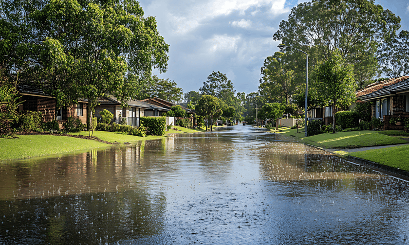
The Canadian dataset, covering all provinces and territories, helps users analyze flood vulnerability at both individual property and regional levels, improve underwriting and pricing models, support disaster response and resilience planning, and visualize potential flood impacts with AR simulations. The dataset also aids in communicating flood risk and resilience more effectively.
Roderick Scott, chair of the Flood Mitigation Industry Association (FMIA), emphasized the importance of the new dataset.
“Understanding First Floor Height and Elevation is foundational to accurate flood risk assessment and effective mitigation planning. True Flood Risk plays a key role in addressing long-standing data gaps, and this new dataset for Canada is a critical resource for insurers, local governments, and planners,” he said.