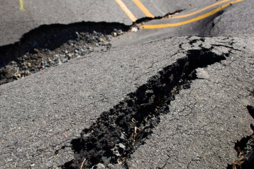
Canada has a history of destructive earthquakes. The area most known for seismic activity is southwestern British Columbia, which experiences around 400 earthquakes every year extending from the north end of Vancouver Island down to Seattle, Washington US.
Earthquakes occur when there is too much pressure between tectonic plates (segments of the Earth’s crust) causing a rupture along a zone of weakness called a fault. This creates the seismic waves, which lead to the shaking commonly associated with earthquake events.
Southwestern BC is prone to seismic activity because of its location over the Cascadia Subduction Zone, which covers the boundary between the oceanic Juan de Fuca Plate and the continental North American Plate. According to Natural Resources Canada, the Juan de Fuca Plate is descending or subducting beneath the North American Plate at roughly the same rate as fingernails grow – about four centimetres per year – which is causing seismic activity.
“Southwestern BC is a region of high seismicity and high hazard due to it being a region of active plate tectonics,” said Michael Kolaj, research scientist at Natural Resources Canada. “This is a region where we can get large mega-thrust interface earthquakes of up to magnitude 9.”
It’s important to note that earthquake risk in Canada is not isolated solely in southwestern BC. There’s risk around the borders of northwestern Canada, moderate seismicity in the Arctic region, and relatively low to very low hazard in central Canada.
“Something that’s perhaps less understood or known about is that in southeastern Canada, we do have regions, especially along the St. Lawrence valley through Ontario and western Quebec, of moderate and elevated seismic hazard,” Kolaj added. “Historically, we have had some large and significant earthquakes in the region, such as the magnitude 6 in the Montreal region in 1732, and the magnitude 7 in the Charlevoix region in 1663.
“In terms of seismic hazard mitigation, we know that large damaging earthquakes in Canada have occurred and will likely occur again, and we can’t stop them or predict them in a very specific way. The primary [form of] mitigation of earthquake hazards in Canada is our national building code. The goal of the code is to construct buildings in such a way that they will have earthquake engineering that can resist the expected level of shaking posed by earthquakes in Canada – and we want that level of earthquake engineering to be equally distributed across Canada.”
Natural Resources Canada has just released the new 2020 National Seismic Hazard Model for Canada, which indicates significantly higher levels of ground shaking hazard in several major urban areas relative to the 2015 hazard map.
“What we know from looking at our exposure models is that our exposure to earthquake hazards and risk in Canada has almost doubled over the last 40 years, and that’s largely because we have increasingly dense urban settlements in areas exposed to these hazards,” said Murray Journeay, research scientist at Natural Resources Canada.
The models developed by Natural Resources Canada are important tools for insurance companies in determining and managing the seismic risk across their property portfolios.
“Our model transforms [quake data] into a set of indicators that are really the bridge between understanding earthquake risk and taking action to reduce or manage that risk,” said Journeay. “The metrics that we report on include both physical risks to building and people, but also the impacts or strain on social fabric. We use those metrics to help us understand where that risk is concentrated in Canada across the nation.
“We also use these models to help us understand risks through a couple of different lenses. For example, average annual loss is important to the insurance industry, as is probable maximum loss. So we’re able, for any region in Canada, to look at those probable maximum losses and use our models to measure opportunities for risk reduction at a regional and local level.”