New flood maps for Manitoba First Nations could be in the works, which take into consideration the communities’ flood risks.
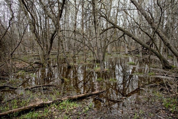
An estimate from the Indigenous-owned Acosys Consulting found that nearly 90% of Manitoba First Nations have been affected by flooding, but flood mapping and mitigation programs have failed to properly prepare the needs of the communities.
In an interview, Acosys Consulting president David Carrière-Acco said that flood mapping programs are typically designed for insurance companies. While the maps are created and funded by governments, they prioritize urban areas with high population density and infrastructure.
“But when you look at it in terms of where the impacts are really happening, that’s along the river system where Indigenous people have lived since time immemorial, or where the Indian Act moved us into a flood zone,” Carrière-Acco said to The Narwhal.
The president added that Indigenous communities “do not fit the model,” and have been left behind by flood mitigation policies that fail to consider the characteristics, history, and knowledge of the First Nations.
“Flood management didn’t start 500 years ago … we were doing it right from the beginning,” he says. “What I’d like to see is the community actually informing and helping develop good legislation, good programs.”
To address this, representatives from 34 First Nations communities in Manitoba met in Winnipeg over redrawing the flood maps, with an emphasis on Traditional Knowledge and local community input. Acosys has also been tapped by Natural Resources Canada to facilitate the flood map development, The Narwhal reported.
The maps can be accessed by community leaders and edited through phone apps. They show topography, existing infrastructure, as well as current and past degrees of emergencies. They also allow communities to designate features that are locally important and track real-time changes.
Acosys will present the results of the engagement to the federal government, which should hopefully guide policymaking for flood mapping in the future.
“It’s about mitigation, it’s about prevention, it’s about having foresight,” said Carrière-Acco. “I’d like to see a very powerful Indigenous voice within that.”
On the national side of things, the federal government has moved forward with its first National Adaptation Strategy, which hopes to protect Canadians from escalating floods, wildfires and extreme heat. As part of this plan, the federal government has pledged $1.6 billion in new funding to support municipalities and townships in building climate-resilient infrastructure, improving the availability of flood and wildfire information, and accelerating climate risk innovation.